

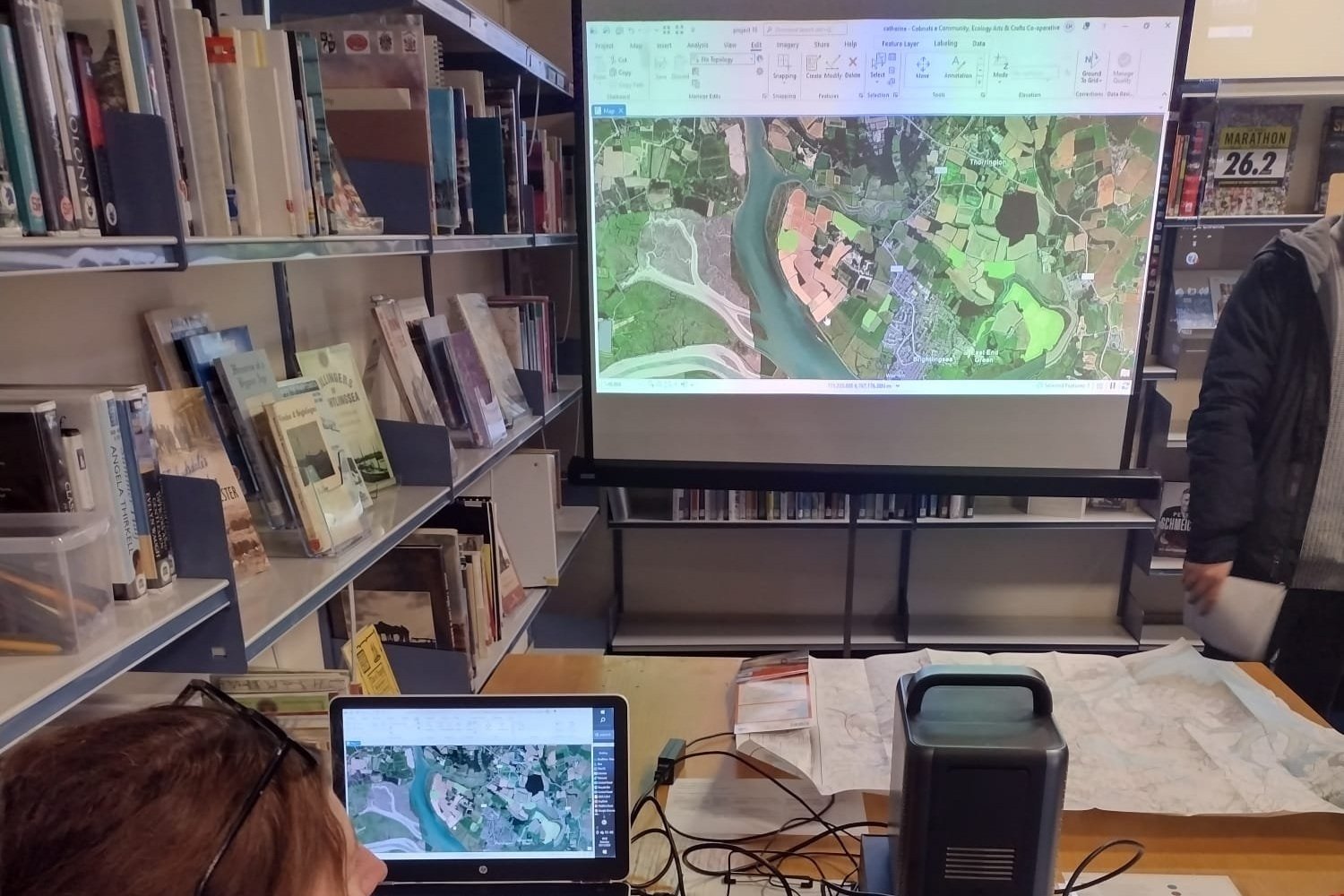
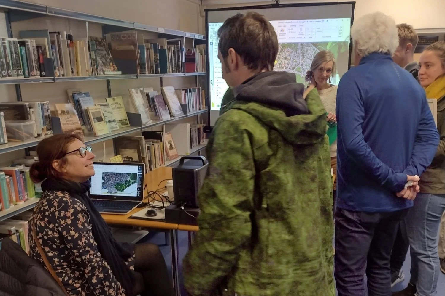
INTERACTIVE NATURE RECOVERY MAP BRIGHTLINGSEA, TENDRING, ESSEX
Made with local volunteers, scientists, contributions from the community, Essex Wildlife Trust, Natural England, Tendring District Council, Essex County Council, Cobnuts and Brightlingsea Nature Network.
HOW TO USE: The Legend on the left of the map shows the different groups of data.
Clicking on the map will provide information about the data
Clicking the Layers button on the left of the map will allow you to turn each group of data on or off.
Funded by Essex County Council Climate Action Fund

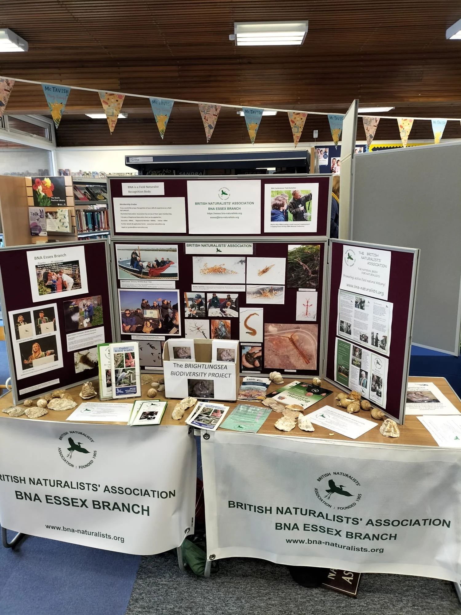
Nature Recovery Events at Brightlingsea Library

Sites of Special Scientific Interest Brightlingsea